


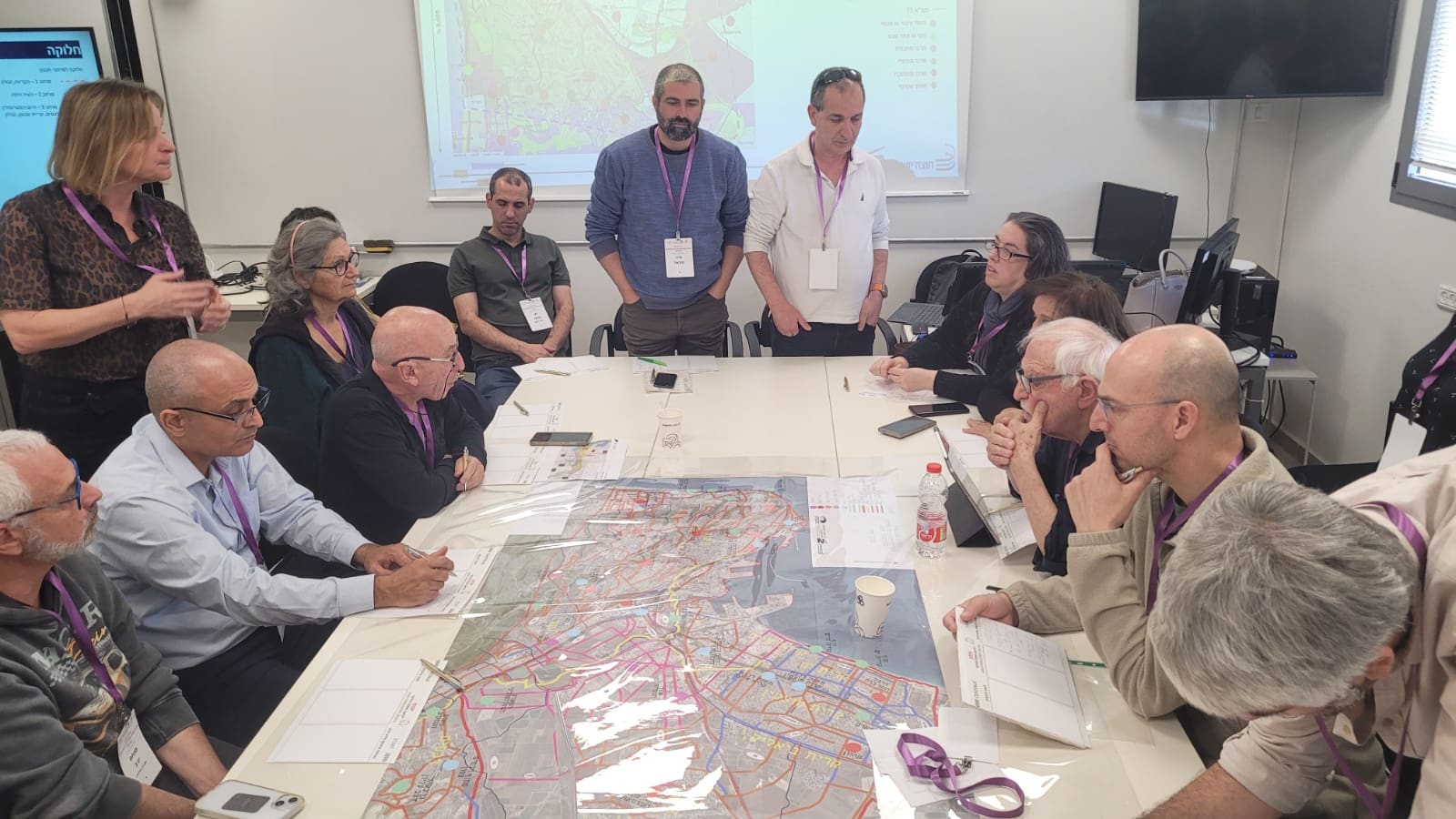
(haipo) – Last night (Monday, 2/16/26) an extensive consultation meeting was held in Haifa Bay as part of the public participation process for planning a metropolitan network of walking and cycling paths. The meeting, initiated by the Haifa Bay Development Authority in cooperation with the Ministry of Transportation, the Cross-Israel Company and the Bay Authorities Cluster, was intended to present the initial planning phase and, above all, to listen to the needs, challenges and ideas emerging from the field.
Listening phase: Authorities, organizations and residents around the same table
The meeting, which lasted about five hours, was attended by about 50 representatives from local authorities, civil society organizations, and residents of the area. The participants were exposed to the planning work done so far, the guiding principles of the metropolitan network, and the future directions of the plan, as part of a broad public participation process that has accompanied the project from its inception.
Three central spaces – one connected network
The planning focuses on three main areas: Haifa, the Krayot, and the Nesher-Zevulon-Tivon axis. The goal of the move is to create a central “spine” of walking and cycling paths, to which local networks of all metropolitan authorities will connect, for the benefit of daily commuting alongside leisure and recreation.

From Haifa to Kiryat Yam – in one go
Yuval Admon, Head of the Haifa Bay Development Authority and Deputy Chairman of the National Economic Council, noted that the goal of the plan is to create continuous trails from Matam to Kiryat Yam, along the coastal strip, the Kishon River, and major points of interest in the bay.
According to him, from the central stretch, it will be possible to continue to additional promenades towards the Kiryat, Nesher and Kiryat Tivon, so that residents of the Bay will be able to cross the entire area on foot and by bike, for work, study and also for leisure.
“If it is possible in the center – it is also possible here”
“There is no reason why in the center of the country you can walk from Bat Yam to Herzliya on a continuous promenade and not in Haifa Bay,” said Admon. “The meeting is intended to present the planning that has been carried out so far, but mainly to hear from those who know every meter of the area. After we complete the planning, we will work together with all the partners to lead to implementation in the coming years. This is a significant project from a metropolitan perspective, which connects authorities and especially residents, with the metropolitan park along the Kishon River at its heart.”
The main traffic axis and the branches
According to the plan, the central axis will connect Haifa's downtown area to the Paz Bridge, continue down the Kishon and along it to the Bazan area, and from there to Aryeh Shenkar, Kiryat Haim Stadium and Kiryat Haim Beach. At the same time, branches are planned along the fence, Jerusalem Boulevard in the Kiryats, and eastward along the Kishon, to the Nesher Lakes and the Invidia area in Tivon.

Schedules: Planning in 2026, phased implementation from 2027
The project is currently in the planning phase, with initial planning expected to be finalized towards the end of 2026, based, among other things, on the comments and insights raised at the consultation meeting. Initial implementation is planned for 2027, in phases and sections, until the full sequence is completed.
Did the article interest you?
On the one hand, the State Comptroller says not to close Bazan... and on the other hand, they fantasize about a promenade that connects the bay... Maybe you'll make arrangements?
Who is the project manager?